
A journey across several modes of transport through some of Japan’s most dramatic landscapes, set among its highest mountains. Come with me as I cross the Japanese Alps along the Tateyama Kurobe Alpine Route!
While flipping through the Lonely Planet guidebook, I found a short mention about this route crossing the northern Japanese Alps — where different modes of transport take you through snowy peaks and breathtaking scenery, starting at 475 meters and reaching 2,450 meters, known as “the roof of Japan” — I immediately knew I had to go.
First of all, follow me on Instagram @danae_explore – that’s where you can keep up with my trips, find lots of travel tips, and send me a DM anytime. I love chatting about travel!
The Tateyama Kurobe Alpine Route crosses a part of the Chubu Sangaku National Park, passing through Mount Tateyama, a.k.a. Mount Tate, which, together with Mt. Fuji and Mt. Hakusan, isone of Japan’s three sacred mountains.
“In the 17th-19th centuries, Tateyama became one of Japan’s three holy mountains along with Mt. Fuji and Mt. Hakusan. Many pilgrims visited the mountain. People seeing hot water coming from the ground at Jigokudani imagined that they were seeing into the underworld. The high point of Mt. Tateyama overlooking the valley of hell came to represent heaven. People who climbed Mt. Tateyama during their life hoped that their souls would go to heaven after their death.” https://www.alpen-route.com/en/info/history.html
I didn’t find much information about the Alpen Route (as it’s also called) on the internet – what little I could find was on the official route website and a few blogs. But even without knowing exactly what to expect, I decided to go for it and explore these landscapes.
It turned out to be an amazing experience, with stunning scenery that fit perfectly into our 4-week Japan itinerary. It was a day when we stepped away from the traditional tourist attractions (big cities, temples, and shrines) and experienced a side of Japan that feels far from the one we usually imagine.
We loved Japan so much that we were back before long, this time in winter: skiing in Sapporo, revisiting old favorites (hello again, Tokyo, Hiroshima and Kyoto), and adding some new ones like Kanazawa and Himeji, and some of day-trips from Tokyo we haven’t done before. Check it all out here on the blog or over on Instagram.
.
Where is the Tateyame Kurobe Alpine Route
The Tateyama Kurobe Alpine Route connects Nagano Prefecture (to the east) with Toyama Prefecture (to the west), in central-western Honshu (Japan’s main island).
The route is approximately 90 kilometers long, with an elevation difference of 1,975 meters.
You can travel the route from east to west (from Nagano to Toyama) or from west to east (from Toyama to Nagano). Most people travel it one way, but it’s also possible to go halfway and return the same way.
.
This is just the beginning, Japan has so much more to offer. Here on the blog, alongside our full 4-week itinerary from the first trip, you’ll find accommodation tips for Tokyo and the best day-trips from Tokyo, complete guides for Kyoto, Hiroshima, Sapporo and the charming post towns of Magome and Tsumago for those looking to get off the beaten path.
.
Best time to visit the Tateyama Kurobe Alpine Route
The Tateyama Kurobe Alpine Route operates from spring to late autumn, but the specific opening and closing dates vary from year to year. In 2024, it was open from April 15 to November 30. Check the official website for the opening dates for each year.
The best time to visit the Tateyama Kurobe Alpine Route depends on the kind of experience you’re looking for, as each season has its own highlights.
In spring, the main attraction is the snow corridor along the highest section of the route, between Murodo and Midagahara. This road is lined with snow walls that can reach up to 20 meters high! Alongside the cherry blossoms, visiting this snow corridor is one of the best things to do in Japan during springtime. While the snow gradually melts, there’s usually still snow along the sides of the road until the end of June, depending on the year. We visited in mid-July, and as expected, the snow corridor had already completely melted.
.
.
Summer is the best time to enjoy the hiking trails. There are several options for all levels, including the one to the summit of Mount Tate (3,015 m above sea level).
Autumn is marked by beautiful foliage, and it’s also possible to hike most of the trails.
We did the Alpen Route on July 16 (peak of the Japanese summer), during our month-long Japan trip. If you visit Japan in summer, be prepared for very hot weather.
We found the route to be quite crowded; almost everyone was a Japanese tourist, which we were told may have been due to July 17 being a national holiday that year (Ocean Day – Umi no Hi, celebrated on the third Monday of July).
We loved Japan so much that we were back before long, this time in winter: skiing in Sapporo, revisiting old favorites (hello again, Tokyo, Hiroshima and Kyoto), and adding some new ones like Kanazawa and Himeji. Check it all out here on the blog or over on Instagram.
.
Where to stay on the Tateyama Kurobe Alpine Route
The main accommodations options along the route are:
– Hotel Tateyama: the only one still available when we were planning, but it was beyond our budget. It is located at Murodo Station, the highest point of the Alpine Route, and the stay includes a walk through the snow corridor and stargazing activities. As it is right at the station, it can get quite busy during the day.
– Midagahara Hotel: located at the station of the same name, at 1.930 meters above sea level. It tends to be slightly more affordable than the previous one and is also highly rated. Since it is not one of the main stations on the route, it tends to be quieter than Hotel Tateyama.
– Tateyama Kogen Hotel: located at Tengudaira Station, at 2.300 altitude, it looks like an excellent option in a quieter area than Tateyama.
– Tengudaira Mountain Lodge: also at Tengudaira Station one of the highest points along the route, with easy access to several hiking trails.
If you plan to do the route in a single day, as we did, it is best to stay in Toyama or Shinano-Omachi. You can also stay in Nagano, but that adds about 25 minutes to the journey.
Check availability and rates here:
.

.
We did the route in a single day, from Shinano-Omachi to Toyama. We stayed in Shinano-Omachi at the Hotel Route-Inn Shinano Omachi Ekimae, a comfortable hotel with a good breakfast, but its main advantage is its location, right in front of the train station and bus stop at the start of the Alpine Route. There are some restaurants near the hotel; we had sushi at Sushi Matsuba (松葉鮨), simply delicious!
In Toyama, we stayed at Toyama Chitetsu Hotel, which is right on top of the final station of the Alpine Route and the JR station. There are several restaurants, shops, and malls near the hotel. We had dinner at Viva La Vita, an Italian restaurant; the food was delicious and the chef was very friendly. However, the only menu was a blackboard written in Japanese (which Google Translate couldn’t handle), and the waiter didn’t speak any English. At one point, another customer helped us with the translation! Ordering was an adventure, but we all ate very well and left with another story to tell.
.
Baggage forwarding service at Tateyama Kurobe Alpine Route
I had read online that you’re not allowed to bring luggage on the Alpine Route, but I saw several people with suitcases and wondered: if you’re staying at one of the hotels along the route, wouldn’t you need to bring your luggage?
In any case, even if it were possible, we chose to follow the rules and not bring any luggage — although we are experts at traveling with carry-on only, carrying all those bags throughout the journey would turn it into a nightmare, right?
Between Shinano-Omachi and Toyama, there is a baggage forwarding service available. You drop your bags off between 7:40 am and 10:30 am — in Shinano-Omachi, it’s right in front of the train station (practically next to the hotel where we stayed), and in Toyama, it’s close to the station’s ticket gates — and pick them up between 3:00 pm and 6:00 pm at the other end of the route. It costs ¥2,500 per item. The service doesn’t send luggage to Nagano, so if you’re staying there, you’ll need to take your bags to Shinano-Omachi and drop them off (or pick them up) there. The official website has more details about this service.
.

.
How to do the Tateyama Kurobe Alpine Route
The Tateyama Kurobe Alpine Route can be done from east to west or the other way around, and there’s no right or wrong way. It depends on what fits best into your itinerary.You can also go as far as Murodo (the highest point) and return the same way. We did the Alpine Route on our own, as I explain here, but it’s also possible to do it with an organized tour.
We did the Tateyama Kurobe Alpine Route it in a single day: we started in Shinano-Omachi by bus at 8 am and arrived in Toyama at 5:30 pm.
.

.
This chart shows the different modes of transport, the travel time for each, and the transfer points. But please note that in practice, each leg takes longer than it seems because of waiting and queue times.
In Shinano-Omachi, we took the bus in front of the train station and simply showed the QR code generated when purchasing the ticket online. The official Alpen Route website lists the bus schedules — just note that the departure time shown on your ticket refers to Ogizawa onwards.
Upon arriving in Ogizawa, there is a large station with a shop and restaurant. There, we exchanged our online ticket for a physical one at a kiosk, which we used for the entire journey. We then got in line and took the electric bus, which covers 6.1 km inside a tunnel and drops you off at Kurobe Dam. This tunnel was built to support the construction of the dam and is still used for its operation today.
.
.
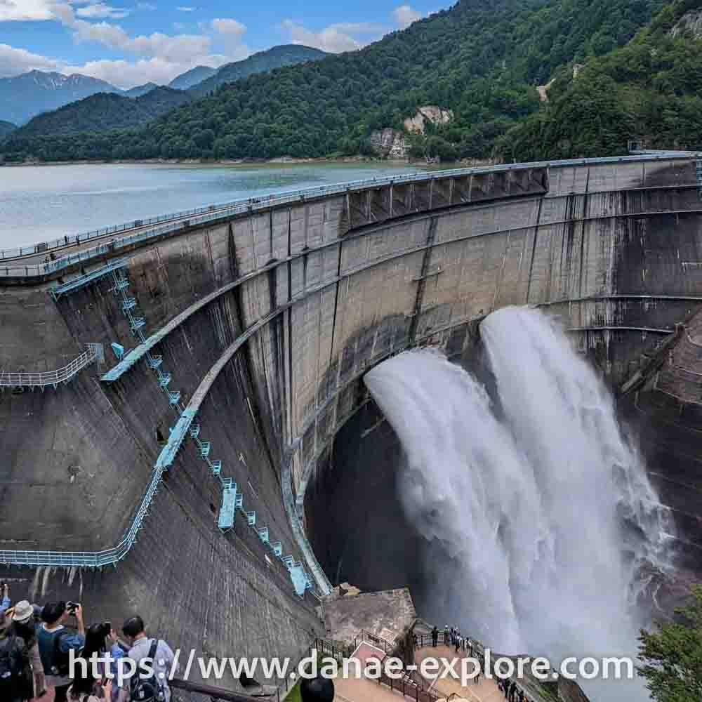
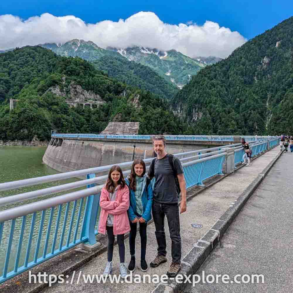
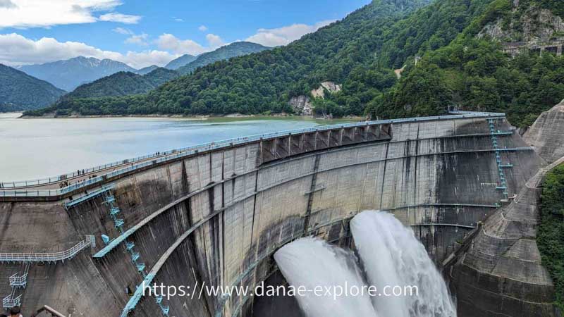
Kurobe Dam sits at 1,470 meters above sea level. It is nearly 500 meters long and 186 meters high, making it the tallest dam in Japan. During Japan’s post-war economic boom, the dam was built to help meet the country’s growing energy demand. Ten million people worked on its construction in the 1950s, and it represented a major engineering challenge, completed at the cost of 171 lives.
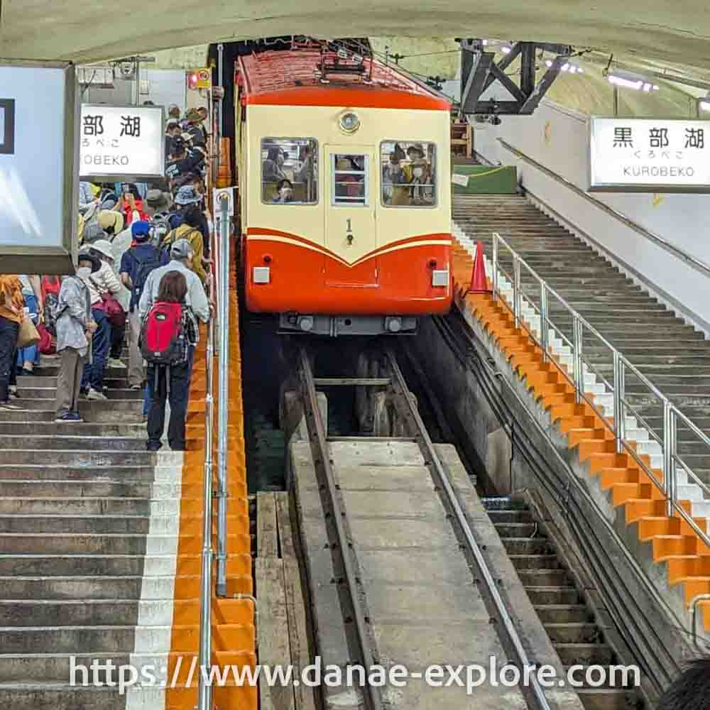
From there, you walk across the dam (about 800 meters) to reach Kurobeko, where you take the funicular (cable car) to the next stop.
This funicular runs entirely inside a tunnel, covering about 800 meters, with a vertical gain of 373 meters. At the end, you reach Kurobedaira, at 1,828 meters above sea level.
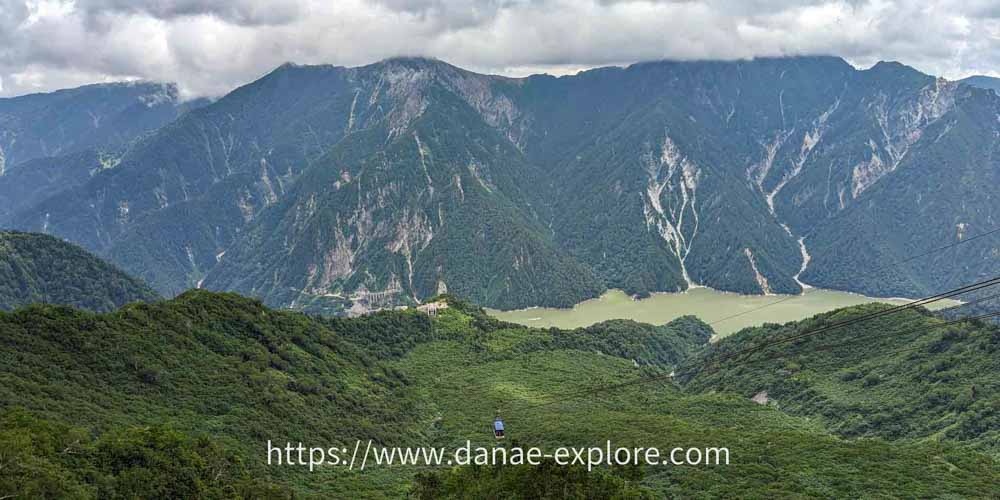
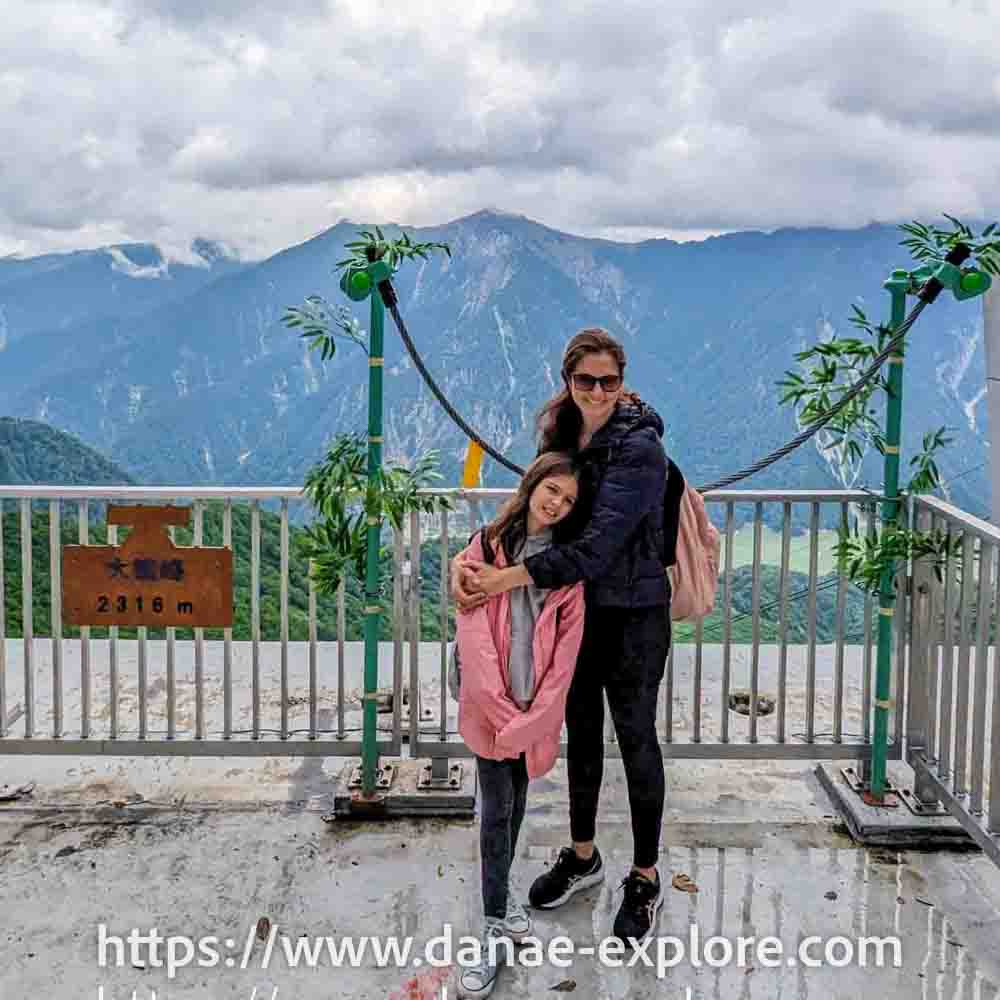
At this stop, there’s a viewpoint, a shop, and a restaurant, but we didn’t spend much time there. We got straight in line for the aerial tramway, which takes you over 1.7 km to Daikanbo, at 2,316 meters (the first photo in this post!).
From there, you take a trolleybus (through a tunnel) to Murodo, the highest point on the route, at 2,450 meters above sea level.
.
.
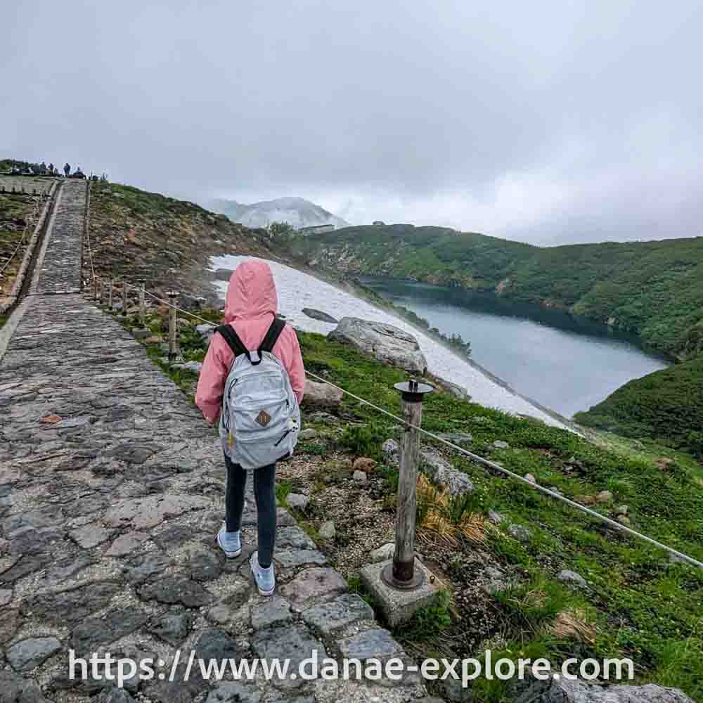
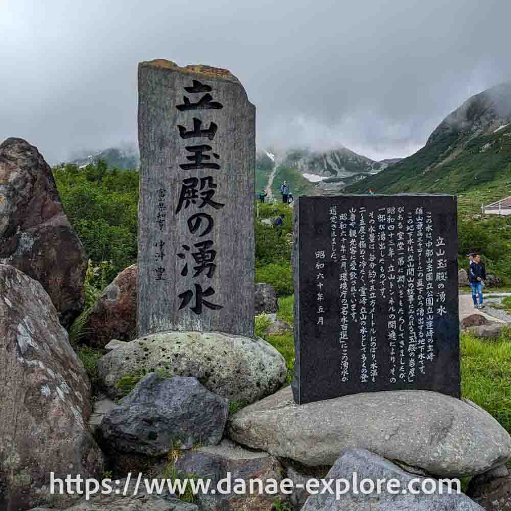
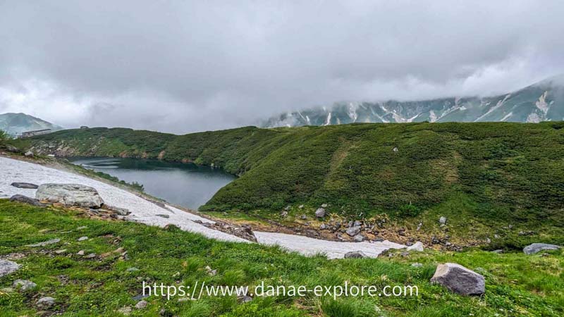
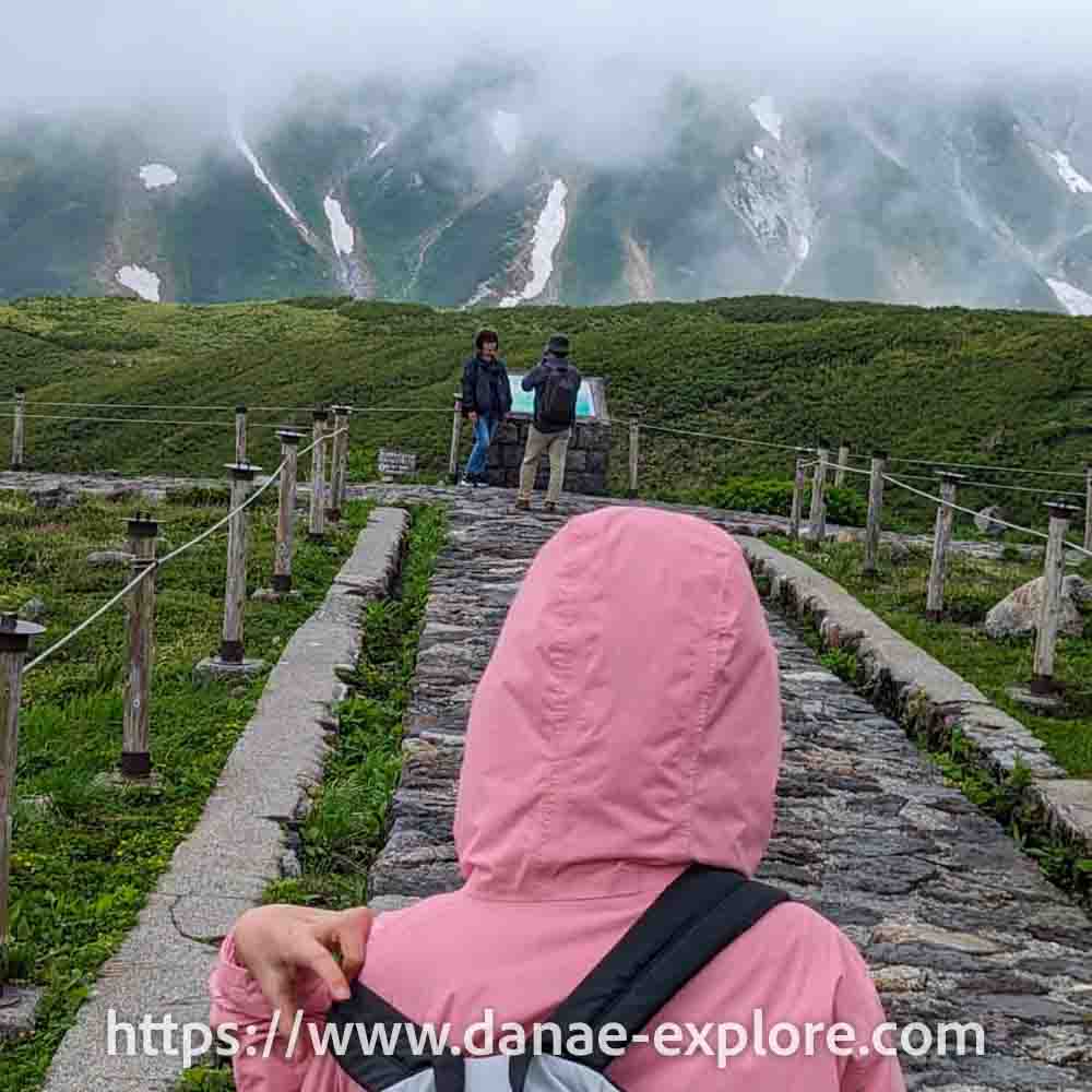
Murodo is, literally and figuratively, the highlight of the trip. It’s where you can see (and even climb) Mount Tate and where you’ll find some of the best hikes in the area. There are also geysers, lakes, and a wide range of landscapes. We had quite a cloudy day, so the view of Mount Tate will have to wait for another time, but it was still beautiful!
Be prepared for much lower temperatures than at the beginning of the route. On the day we went, the difference was around 20°C (from 32°C in Toyama to 12°C in Murodo).
There are a few hotels in this area, such as Hotel Tateyama (mentioned above), as well as campgrounds, shops, restaurants, and cafés.
One of the trails leads to Hell Valley, an area where strong sulfur-smelling vapors rise from a total of 136 vents in the ground. There is a walkway through the area, but it was closed due to safety concerns when we visited.
From Murodo, a bus takes you to the famous snow corridor in spring. When we went, on July 16, the snow along the road had already completely melted.
.

.
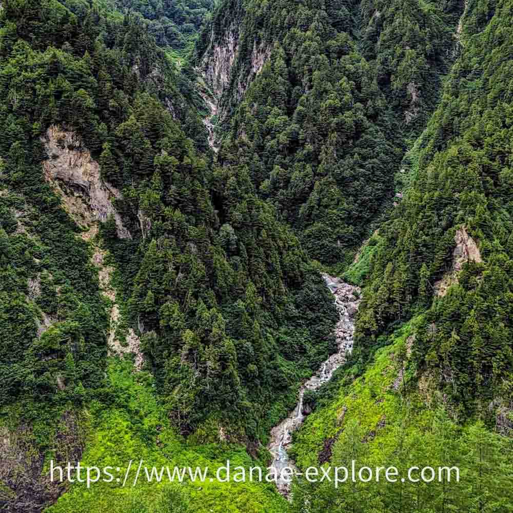
If you want to stop at Tengudaira Station or Midagahara, take the bus that stops there. Otherwise, the bus goes directly to Bijodaira (at 977 meters above sea level), with a photo stop (without getting off the bus) at Shomyo Falls, the tallest waterfall in Japan.
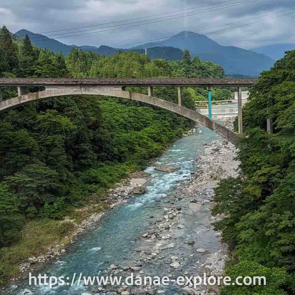
From Bijodaira, you continue on the funicular (cable car) to Tateyama, at 475 meters above sea level.
A local train (Toyama Chiho Railroad) takes you from Tateyama to Toyama, arriving at the city’s central station, with easy access to the JR station if you still have energy to keep going 😉 In Tateyama, you can also take an express train to Toyama (paid separately), which I would have taken if I had known about it when planning the trip.
We stayed overnight in Toyama at Toyama Chitetsu Hotel.
.
.
How much does the Alpine Rout Cost (and how to buy tickets)
The Alpine Route is not covered by the JR Pass.
Tickets can be purchased directly on the official Alpen Route website. You’ll need to create a profile and follow the instructions, choosing the direction of your trip and your travel date. In the next step, you select the section you want to travel, the departure time from Ogizawa, and the number of people. The bus between Ogizawa and Shinano-Omachi/Nagano must be purchased separately, as the main route ticket starts from Ogizawa.
It’s also possible to purchase the route only up to Tateyama, from where you can take the express train to Toyama or continue to other destinations in Japan.
In 2023, the cost per adult for the Ogizawa–Toyama section was ¥12,360 (approx. US$77), or ¥10,940 (approx. US$69) for the Ogizawa–Tateyama section. The bus between Ogizawa and Nagano costs around ¥4.300, and between Ogizawa and Shinano-Omachi, ¥2.000 (prices updated in April/2026).
After purchasing, you’ll receive a ticket with a QR code, which you can exchange for a physical ticket in Ogizawa (or in Toyama/Tateyama).
On this page, you’ll find more information about tickets.
But if you prefer, you can do the Tateyama Kurobe Alpine Route with tours like this one.
So, are you excited about this unique journey in Japan?
.

.
Detailed itinerary of our 4-week Japan trip
If you want to see more about our 4-week trip to Japan, check out the detailed itinerary on the map below — just click to save it to your Google account. That way, when you plan your next trip to Japan, you’ll already know where to start 😉
On the map, you’ll find details of everything we did, where we stayed, and the best places we visited. The map has different layers, each marked with a color for the regions we explored.
How to use this map: Click the menu tab in the upper left corner of the map to access different layers, including points of interest and routes. You can toggle layers on and off by checking the corresponding boxes. To see details about specific locations, click on the icons on the map.
To save this map to your Google Maps account, just click the star icon next to the map title. To access it later on your phone or computer, open Google Maps, tap the menu button, go to “Your Places”, select “Maps”, and you’ll find this map saved there.
.
Here are the websites I always use to plan my trips:
– 🛌 Accommodation: Booking
– ☀️ Tours & activities: Civitatis & Get Your Guide
– 📱 eSIM for mobile data: Airalo e-SIM – use promo code DANAE2375
– 🚗 Car rental: RentCars – use promo code DANAE, or DiscoverCars
.
Check out all our posts about traveling in JAPAN:
- 4-week Japan itinerary: the best of Japan for a first trip to the Land of the rising sun
- Where to stay in Tokyo
- Beyond Tokyo: 7 day-trips that live up to the hype
- The best of Kyoto: what to do in 4 or 5 days in Japan’s ancient capital
- Tateyama Kurobe Alpine Route – Your ultimate guide to the journey crossing the Japanese Alps
- Nakasendo Road, from Magome to Tsumago, the most beautiful villages of medieval Japan
- Hiroshima: 2-day itinerary, with a day trip to Miyajima
- Sapporo: complete itinerary and tips for skiing in Hokkaido
- 10 things you need to know before traveling to Japan
.
Here are our posts about other destinations in Asia:
- 3-week itinerary through Southeast Asia – the best of Thailand, Laos and Cambodia
- Siem Reap and Angkor Wat in Cambodia
- New Year’s Eve in Siem Reap, Cambodia
- What to do in 3 days in Luang Prabang
- The best of South Korea: 7-10 day itinerary
.
Did you like these tips? Then follow me on social media:
Instagram @danae_explore
Pinterest @danaeexplore
Comments or questions? Contact me on social media! I love to chat about travel 😉
And before you go, don’t forget to SAVE THIS PIN to your PINTEREST account for easy access to this post on the complete guide for this journey through the Japanese Alps on the Tateyama Kurobe Alpine Route, whenever you need it!